Mapping air quality software and hardware
A novel technology that permits the mapping of urban air pollution with high accuracy at a previously unimaginable scale.
It provides invaluable insights about how to mitigate air pollution.

bettair® IoT Platform: The pollution mapping tool for smart cities
We provide a highly accurate and large-scale pollution-mapping tool for smart cities and other scenarios. We supply them with the insights and information they need to better understand and mitigate pollution.
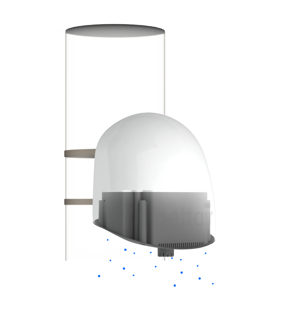
A network of static devices is installed in streetlights (or in city furniture), very easily, in a dense matrix allowing a highly spatial and temporal resolution.
IP65 rated dust tight and water resistant
Customised low-power electronics
Low-power wireless network access
Worldwide connectivity
Mapping Air Quality
NO2 NO SO2 CO O3 H2S CO2
PM1 PM2.5 PM10
Ambient noise
Temperature
Relative humidity
Atmospheric pressure
Calibration - Post processing algorithm
Thanks to our novel and advanced post-processing algorithm the sensors are performing with an incredible accuracy (Pearson Correlation over 90%), working in the same range as the traditional and expensive monitoring stations. Thus, the bettair® nodes do not need to be calibrated in-situ.
The algorithms are based on unsupervised machine learning techniques that are applied to the raw data provided by the gas sensors in order to achieve an outstanding performance for low concentrations (parts-per-billion, ppb).
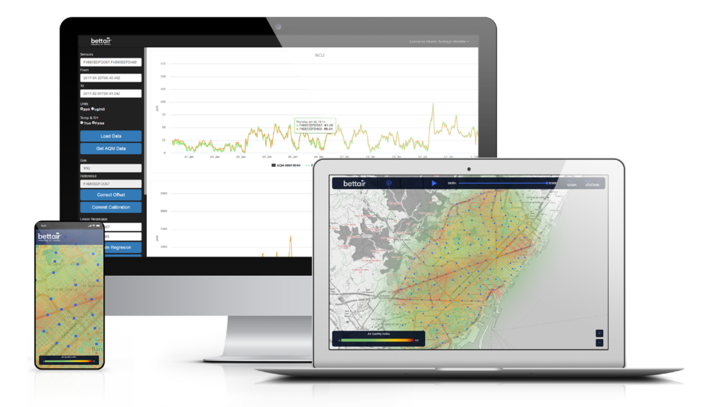
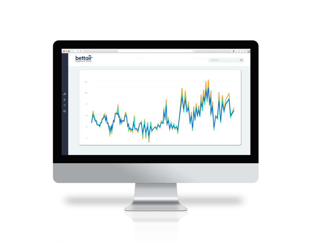
The bettair® software platform

Bettair and the environment
We take a complete product life cycle approach to determining our environmental impact.
Bettair’s life cycle analysis accounts for all emissions associated with our products. Including manufacturing, packaging, transportation, and energy consumed during use and recycling.
Monitoring air pollution as a serious public health issue
PM
O3, PM
NO2
PM
O3, PM, NO2, SO2
PM