Accurate, real-time data to understand and improve urban air quality
Accurate, real-time data to understand and improve urban air quality

Environments such as major transport corridors, logistics hubs, schools, hospitals and residential areas can experience highly variable pollution levels that traditional monitoring stations do not always manage to detect with the necessary resolution.
Bettair enables cities to move from limited monitoring to a precise and dynamic understanding of the urban environment through networks of smart sensors capable of generating hyper-local, high-precision, real-time data.


Bettair solutions enable
- Monitor air pollutants and particulate matter in real time at street level.
- Identify urban hotspots and areas of high exposure using high-resolution spatial data.
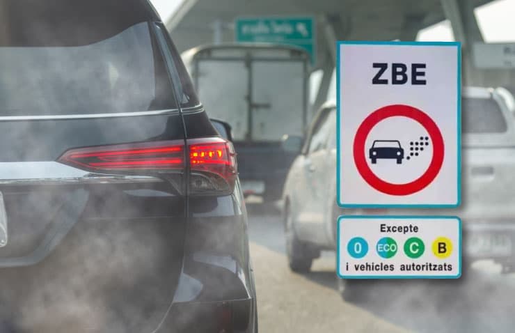
- Assess the actual impact of Low Emission Zones and traffic restrictions.
- Integrate environmental information into smart city platforms and ITS systems.
- Generate automatic alerts in the event of pollution episodes.
- Centralise all environmental data on a single visualisation and analysis platform.
Accurate data for better decision-making
Beyond mere measurement, Bettair transforms environmental data into operational intelligence for cities:
Advanced analysis of urban pollution
Understands how pollutants evolve in response to traffic, urban activity and weather conditions.
Precise identification of patterns and trends
Detects recurring patterns and critical episodes using continuous, high-resolution data.
Assessment of the impact of urban policies
Measures the actual effectiveness of measures such as Low Emission Zones (LEZs), changes in mobility or traffic restrictions.
Decision-making based on reliable data
Enables faster, more objective and efficient decisions for local authorities and urban operators.
Benefits of urban environmental management
Effective improvement in air quality
Enables the identification of pollution hotspots and allows for targeted action.
Protection of public health
Reduces the population’s exposure to air pollutants.
Regulatory compliance and validation of Low Emission Zones (LEZs)
Facilitates the assessment and monitoring of environmental policies.
Optimisation of mobility and traffic
Links pollution and mobility to improve urban management.
Urban planning based on real data
Accurate information to design more sustainable and resilient cities.
Greater institutional transparency
Facilitates the sharing of environmental information with the public and regulatory bodies.
Promotion of Smart City strategies
Integrates environmental data into smart urban ecosystems.
Use cases in Urban & Mobility
Low Emission Zones (LEZs)
Monitoring and validating the impact of traffic restrictions and environmental policies.
Smart traffic management
Optimising traffic flows using real-time environmental data.
Sensitive environments
Environmental monitoring in schools, hospitals and residential areas.
Urban planning
Assessment of urban measures and design of more sustainable cities.
Smart Cities
Integration of environmental data into smart city platforms.